Project
Blue Skies
PROJECT DESCRIPTION:
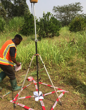
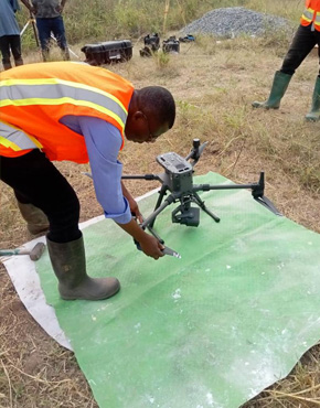
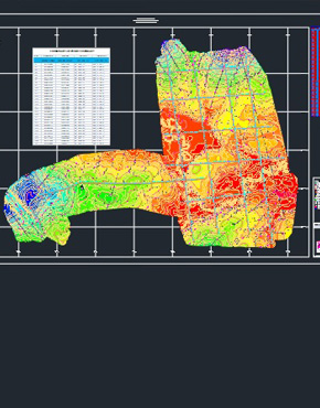
Aerial Lidar and Ground Survey of a prospective project site to generate rectified orthophoto maps, Digital Elevation Models(DEM) and a topographical map with 0.25m contour intervals. Intended for design of access road and a multi-purpose factory infrastructure design and construction.
- BLUE SKIES
- 2023
Project
MTN
PROJECT DESCRIPTION:
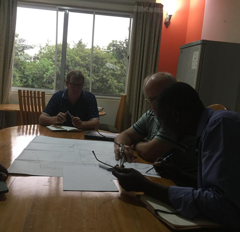
Topographical survey and geotechnical assessment of site intended for construction of the Ghana ICT Hub.
This project was Jointly executed by us and ESPCO.
- MTN
- 2023


Project
QGMI
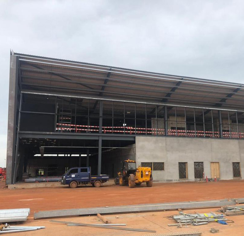
PROJECT DESCRIPTION:
Engineering/construction survey of the Tamale Airport access road. Setting out of geometric designs, vertical and horizontal alignments, earthworks computations, as built surveys and survey reports and controls densification.
Tamale International Airport construction Project (Phase II).
Setting out all design elements from start to completion, interpretation and adoptation of changes to the design, as built surveys and reports to project management team.
Tamale International Airport construction Project (Phase II).
Setting out all design elements from start to completion, interpretation and adoptation of changes to the design, as built surveys and reports to project management team.
- QGMI
- 2022
Project
Ghana Water Company Ltd
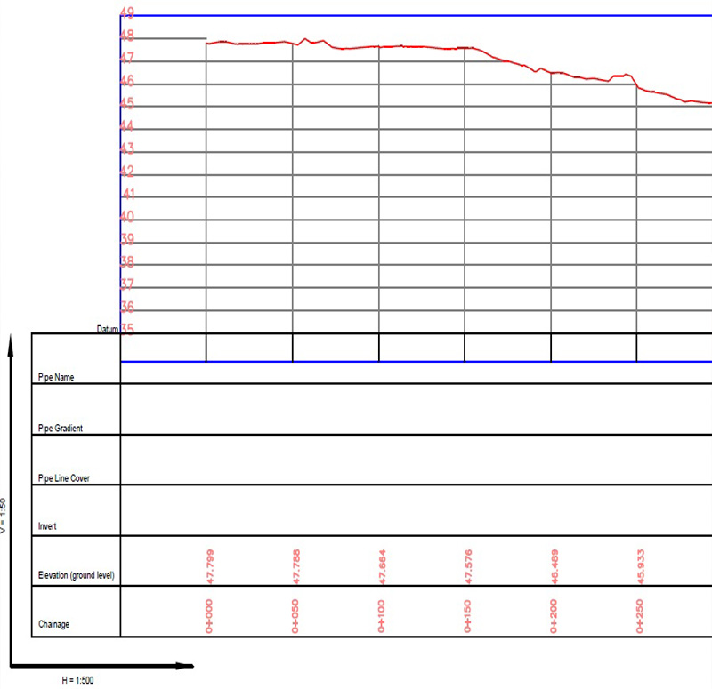
PROJECT DESCRIPTION:
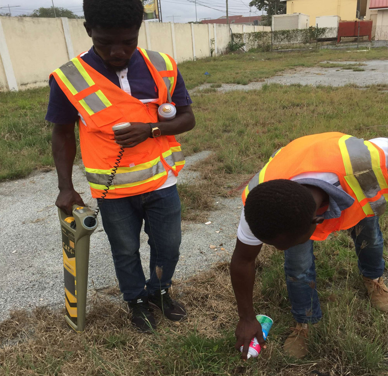
Keta Potable Water Supply Project, topographical survey of pipe route corridor to produce orthophoto maps, contours in dwg format using civil 3D, longitudinal profile and cross sections.
- Ghana Water Company Ltd
- 2022

Project
Contracta
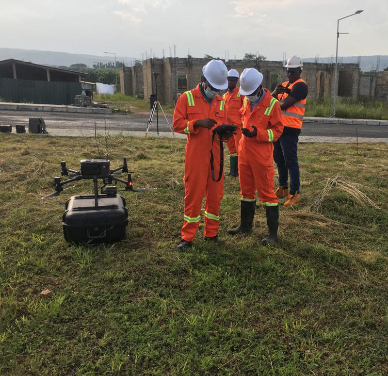
PROJECT DESCRIPTION:
LiDAR survey of 470 acres of land for the design and construction of the University of Environment and Sustainable Development, Somanya ( Phase II )
- Contracta
- 2023


Project
Ghana Airports Company Ltd
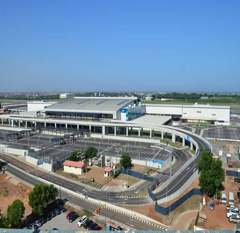
PROJECT DESCRIPTION:
KOTOKA INTERNATIONAL AIRPORT, TERMINAL 3 PROJECT.
CONSULTING SURVEYORS/GEOMATIC ENGINEERS - Consulting Surveyors for the construction of the Terminal 3 of Kotoka International Airport. We worked with the Amalgamated Consultium.
CONSULTING SURVEYORS/GEOMATIC ENGINEERS - Consulting Surveyors for the construction of the Terminal 3 of Kotoka International Airport. We worked with the Amalgamated Consultium.
- Ghana Airports Company Ltd
- 2016


Project
Private
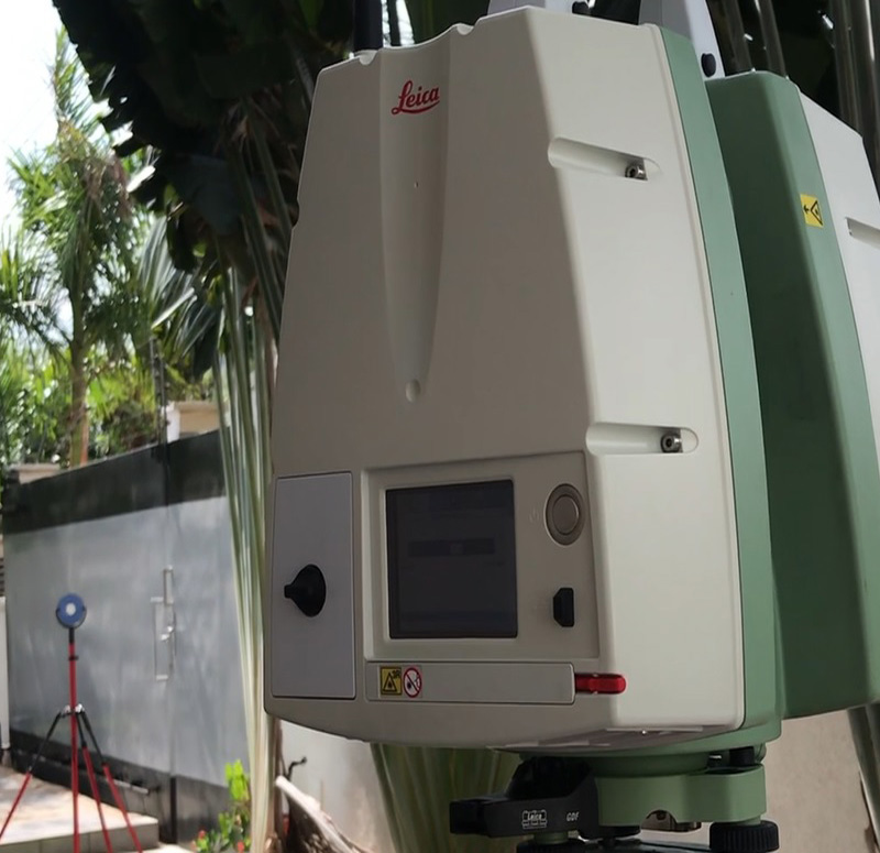
PROJECT DESCRIPTION:
3D LASER SCAN-
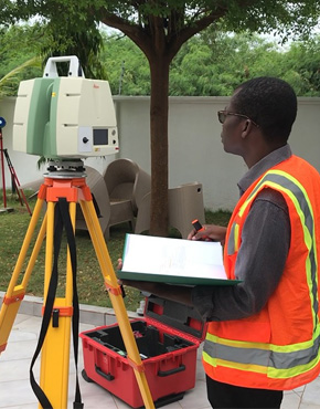
Terrestrial Laser scan of a private property for multi purpose use:
-As an asbuilt documentation
-For deformation monitoring
-For interior design and decoration
-For architectural modifications
-For analysing flood scenarios and control
-Georeferenced Points cloud for use in Civil 3D, Revit and BricsCAD
-Building Information Modeling (BIM)'s best source of data
- Private
- 2016
